Lunch and Learn: “The Secrets of the Sanborn Maps”
June 19, 12 p.m.–1:30 p.m.
Event Navigation
On Thursday, June 19, at noon, Central Time, the State Historic Preservation Office will host a free Lunch and Learn seminar with Mike Kertok, a Norman-based architect, who will lead a session on what Sanborn maps are and how they can be used for research and building designs.
According to the Library of Congress:
“The Sanborn map collection consists of a uniform series of large-scale maps, dating from 1867 to the present and depicting the commercial, industrial, and residential sections of some twelve thousand cities and towns in the United States, Canada, and Mexico. The maps were designed to assist fire insurance agents in determining the degree of hazard associated with a particular property and therefore show the size, shape, and construction of dwellings, commercial buildings, and factories as well as fire walls, locations of windows and doors, sprinkler systems, and types of roofs. The maps also indicate widths and names of streets, property boundaries, building use, and house and block numbers.”
Lynda Ozan, Deputy State Historic Preservation Officer, will facilitate the Lunch and Learn webinar.
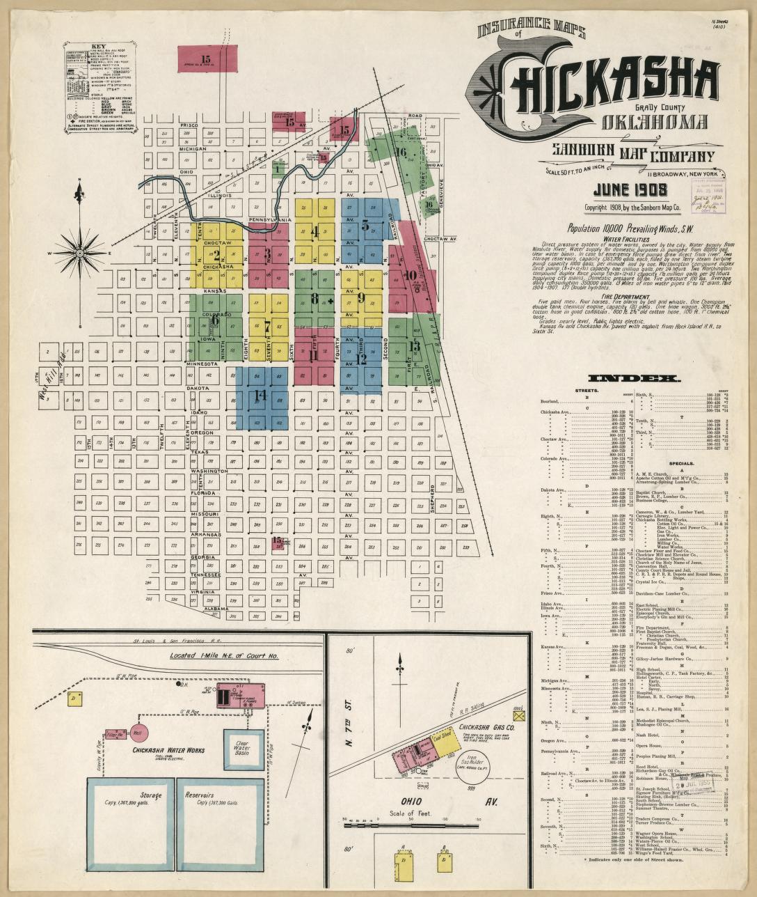
Library of Congress image: Sanborn Fire Insurance Map from Chickasha, Grady County, Oklahoma. Sanborn Map Company, Jun, 1908. Map. https://www.loc.gov/item/sanborn07038_006/.